 geo.be Metadata Catalog
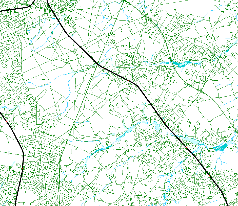
hydrographic network
Type of resources
Available actions
Topics
INSPIRE themes
federalThemes
Keywords
Contact for the resource
Provided by
Years
Formats
Representation types
Update frequencies
status
Service types
Scale
-

The entities included in the dataset represent the Belgian hydrographic network in the sense of the Inspire European directive. The dataset comprises one sole WaterCourseLink class and is in accordance with the INSPIRE specifications. The WaterwayLink class represents, in a linear manner, all of the waterways in the Belgian hydrographic network.
-
Top10Vector – Hydrography is the data set of the Belgian hydrography. This data set includes six classes. First class: waterway kilometre markers of the Belgian navigable waterways. Second class: watercourse surfaces. Third class: watercourse segments. Fourth class: water points, which means points where the water arrives at the surface or disappears into the subsoil. Fifth class: wetlands, which means zones where the soil is saturated or regularly flooded. Sixth class: water surfaces. This data set can be bought via the corresponding hyperlink.
-
This web service allows viewing the NGI data which comply with the INSPIRE specifications. It gives an overview of the INSPIRE data which are for sale.
-

The entities included in dataset represent the Belgian waterway transport network in the sense of the Inspire European directive. The dataset comprises several classes and is in accordance with the INSPIRE specifications. The class represents, in a linear manner, all of the waterway links between each pair of dots for the network considered. In addition to this is one class without geometry. The RestrictionForWaterCehicles class specifies for each segment the maximum tonnage of the building using the segment.
-

Top10Vector is Belgium's series of topographic vector data. The data set contains 37 feature classes, which are divided into eight themes (road network, railroad network, power grid, constructions, land use and vegetation, local relief and particular zones), all of which correspond to a so-pecific data set and can be obtained separately via the corresponding hyperlink.
-
This web service allows viewing the Belgian topographical vector data as established by the National Geographic Institute. It gives an overview of the data sets of the Top10Vector-series which can be purchased.